
 CN
CN EN
EN RU
RUPurchase Inquiry
To better understand the needs of businesses, please fill out the following form. After submitting the form, a professional technical salesperson will contact you promptly.
 Submitting, please wait...
Products
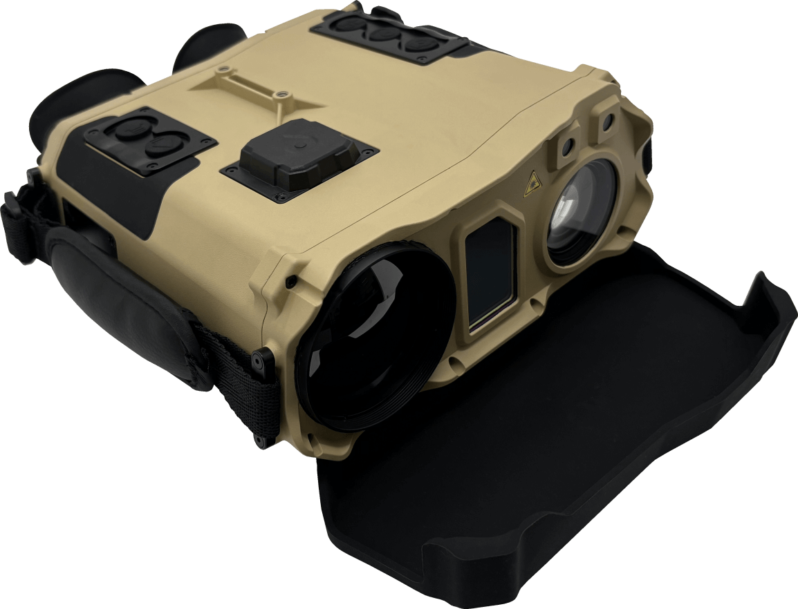
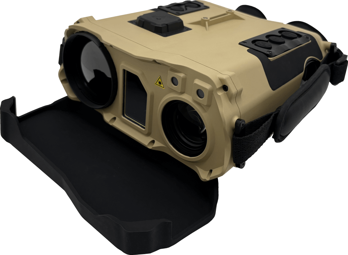
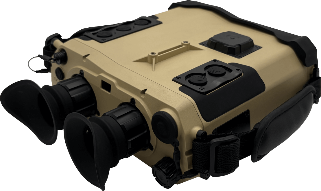
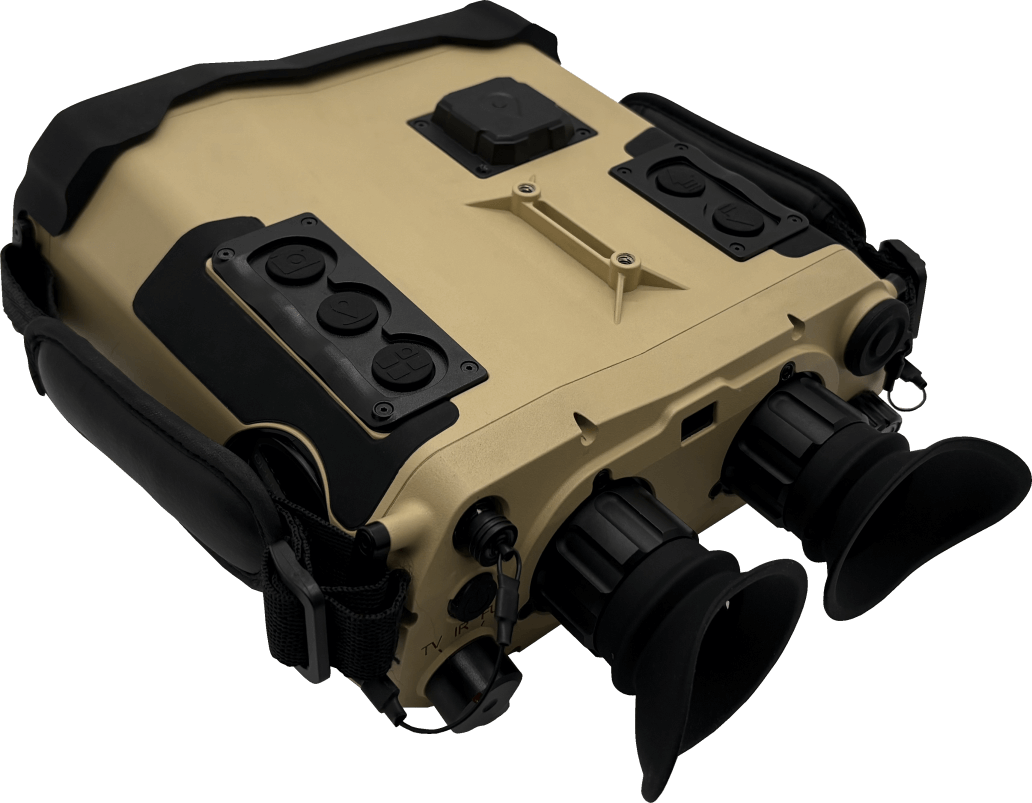
|
Product Model |
IR107Z |
|
|
Visible light |
||
|
resolution |
1920*1080 |
|
|
Field of view |
44°*34°~2.4°*1.8° (coaxial optical zoom) |
|
|
Working illuminance |
≥0.1Lx (black and white) ≥1.0Lx (full color) |
|
|
Identification distance |
Personnel Targets |
≥3km |
|
Vehicle target |
≥6km |
|
|
Thermal imaging |
||
|
resolution |
640*512 |
|
|
Pixel pitch |
12μm |
|
|
Field of view |
7.32°*5.86° |
|
|
Identification distance |
Personnel Targets |
≥1km |
|
Vehicle target |
≥2km |
|
|
Laser ranging |
||
|
laser band |
1535nm |
|
|
Measurement range |
≥6km (vehicle) |
|
|
≥8km (large buildings) |
||
|
Measurement accuracy |
±1m |
|
|
Positioning components |
||
|
Location mode |
BeiDou /GPS/GLONASS multi-mode |
|
|
coordinate system |
WGS84/CGCS2000/SK42/Myanmar Datun 2000, etc. (customizable) |
|
|
Gauss-Kruger/UTM/MGRS, etc. (customizable) |
||
|
Intelligent magnetic declination correction |
||
|
It can automatically identify the magnetic declination of the machine's location (a specified location) without requiring manual correction. |
||
|
Electronic compass |
||
|
Azimuth accuracy |
0.5° (RMS) |
|
|
Pitch angle accuracy |
0.1° (RMS) |
|
|
Laser pointer |
||
|
Invisible laser |
850nm 50mw |
|
|
Visible laser |
520nm 30mw |
|
|
show |
||
|
1080p FHP OLED |
||
|
Language recognition |
||
|
Fast and multifunctional voice recognition |
||
|
Working hours |
||
|
Continuous working time ≥ 9 hours |
||
|
External Interface |
||
|
Electrical interface |
USB/HDMI/DC/Pal/Laser Distance Measurement Button |
|
|
physical interface |
NUC 1/4/Multi-function Expansion Interface |
|
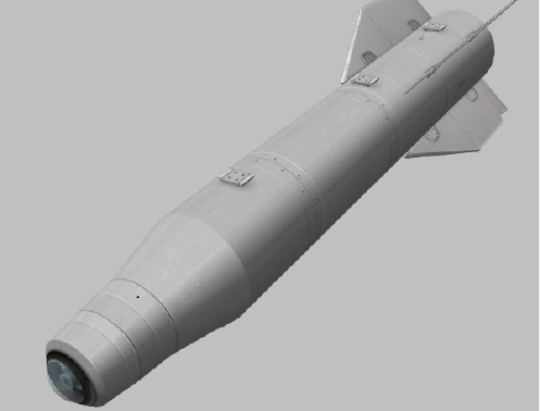
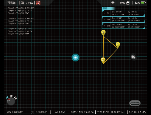
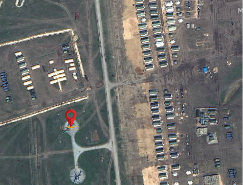
Application:Battlefield reconnaissance, target location, environmental mapping, and early warning and expulsion.
To better understand the needs of businesses, please fill out the following form. After submitting the form, a professional technical salesperson will contact you promptly.
Submitting, please wait...
+86 137 7755 9696


©2026 Zhejiang Tech-Special Equipment Co., Ltd. All rights reserved.
浙ICP备2023012381号-1Communicate and cooperate with us
Tel+86 137 7755 9696
E-mailadmin@tech-special.com
Add Room 401, Xixi Creative Building, No. 718, Wen Er West Road, Xihu District, Hangzhou City, Zhejiang Province