
 CN
CN EN
EN RU
RUPurchase Inquiry
To better understand the needs of businesses, please fill out the following form. After submitting the form, a professional technical salesperson will contact you promptly.
 Submitting, please wait...
Products
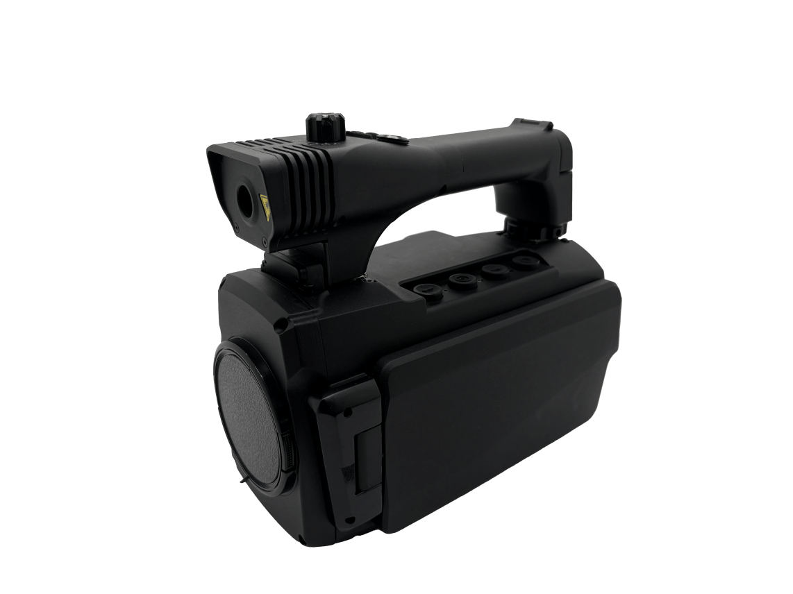
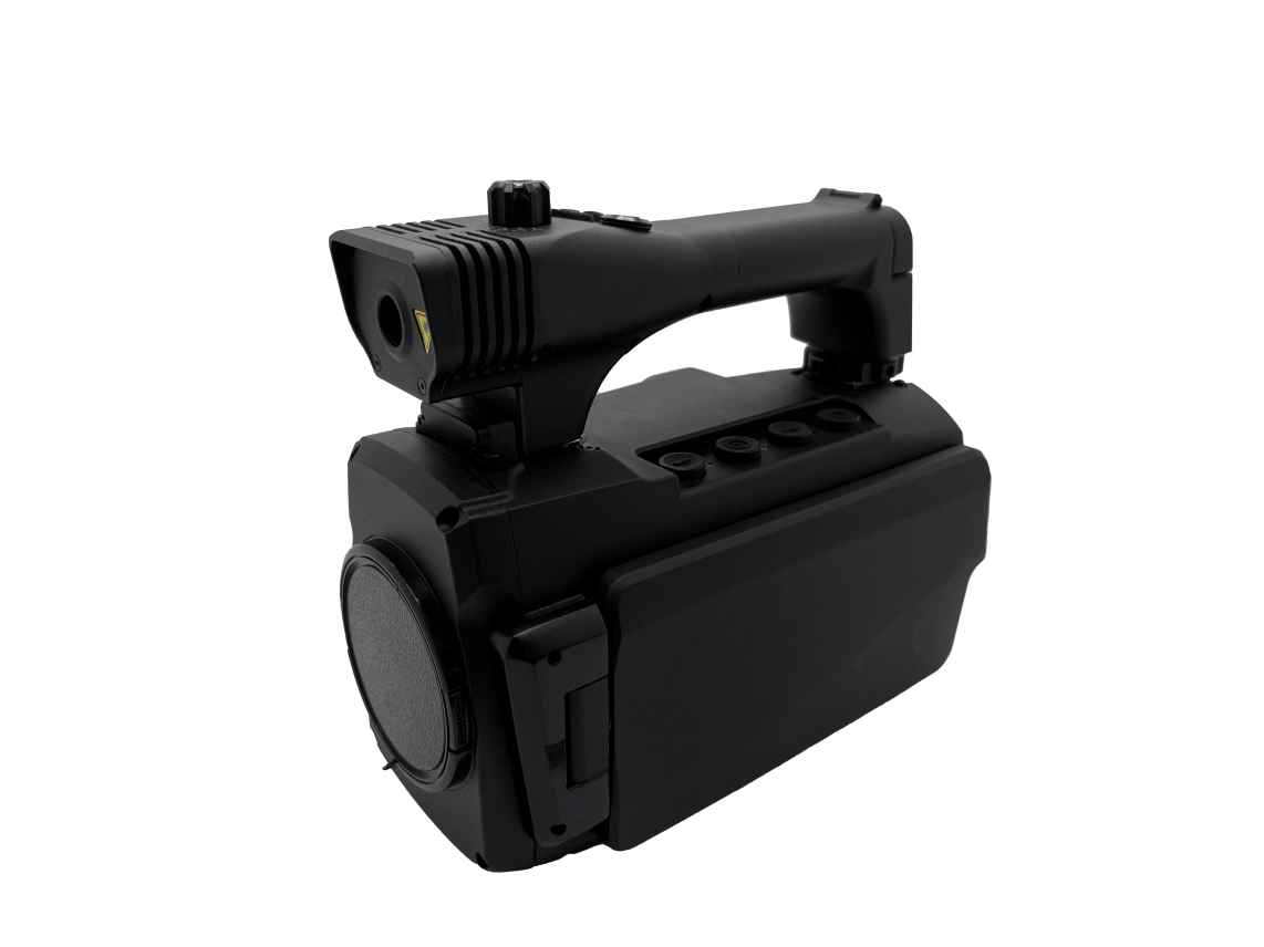
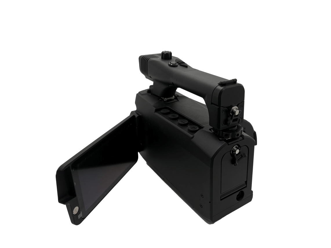
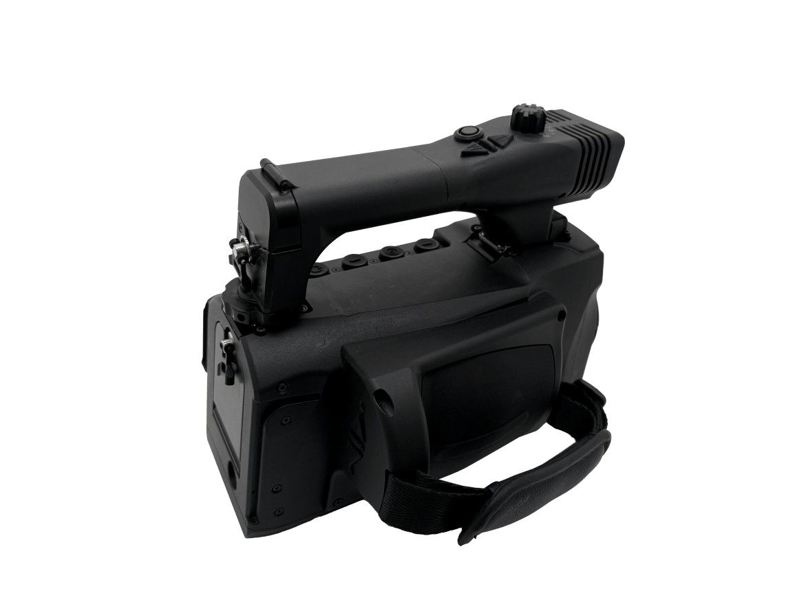
|
Product Model |
IR512 |
|
Infrared thermal imaging |
|
|
resolution |
1024×768 |
|
Pixel pitch |
12 μm |
|
Field of view |
11.1 ° * 8.3 ° |
|
Laser ranging |
|
|
laser band |
905nm |
|
Minimum range |
5m |
|
Maximum range |
1500m (building) |
|
Distance measurement accuracy |
±1m |
|
Laser pointer |
|
|
Visible laser |
532nm 1200mw |
|
Positioning components |
|
|
Location mode |
BeiDou /GPS/GLONASS multi-mode |
|
coordinate system |
Geodetic coordinates /Gaussian coordinates/UTM Mercator/mgrs grid |
|
Intelligent automatic magnetic declination correction |
|
|
It can automatically identify the magnetic declination of the machine's location (a specified location) without requiring manual correction. |
|
|
Electronic compass |
|
|
Azimuth accuracy |
0.5 ° (RMS) |
|
Pitch angle accuracy |
0.3 ° (RMS) |
|
Memory |
|
|
storage space |
256G |
|
show |
|
|
OLED |
5.5 inches |
|
OLED resolution |
1920*1080 |
|
Working hours |
|
|
Continuous working time ≥ 9 hours |
|
|
External Interface |
|
|
DC/USB/PAL/RS232 |
|
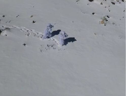
Application:Warning and expulsion, day and night reconnaissance, target location, etc.

To better understand the needs of businesses, please fill out the following form. After submitting the form, a professional technical salesperson will contact you promptly.
Submitting, please wait...
+86 137 7755 9696


©2026 Zhejiang Tech-Special Equipment Co., Ltd. All rights reserved.
浙ICP备2023012381号-1Communicate and cooperate with us
Tel+86 137 7755 9696
E-mailadmin@tech-special.com
Add Room 401, Xixi Creative Building, No. 718, Wen Er West Road, Xihu District, Hangzhou City, Zhejiang Province