
 CN
CN EN
EN RU
RUPurchase Inquiry
To better understand the needs of businesses, please fill out the following form. After submitting the form, a professional technical salesperson will contact you promptly.
 Submitting, please wait...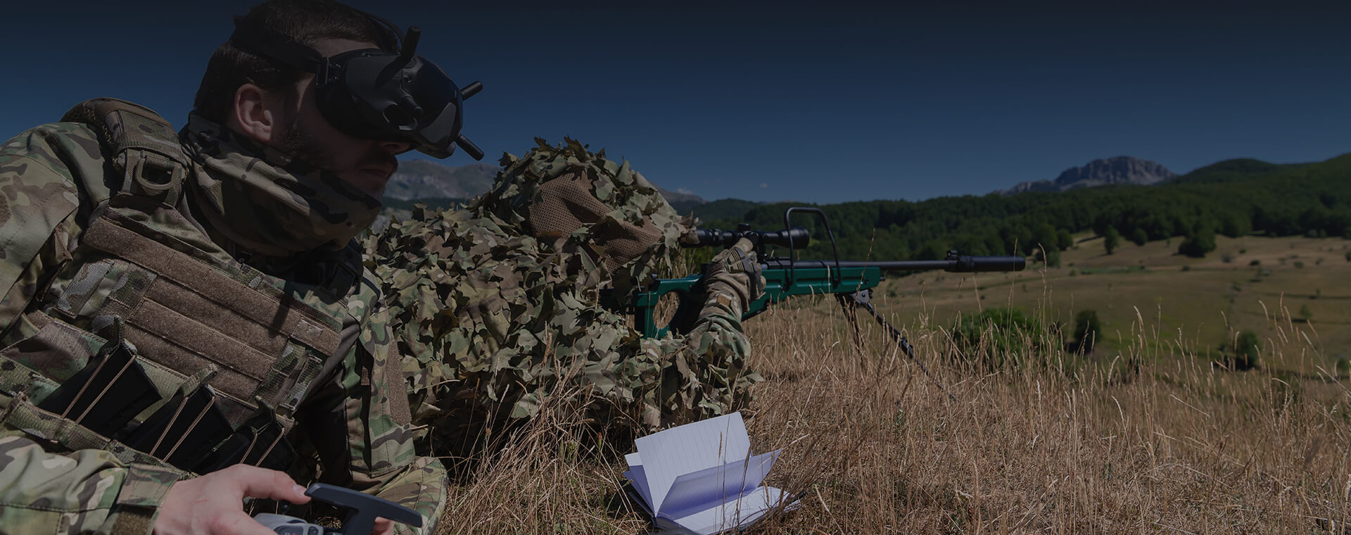
Products
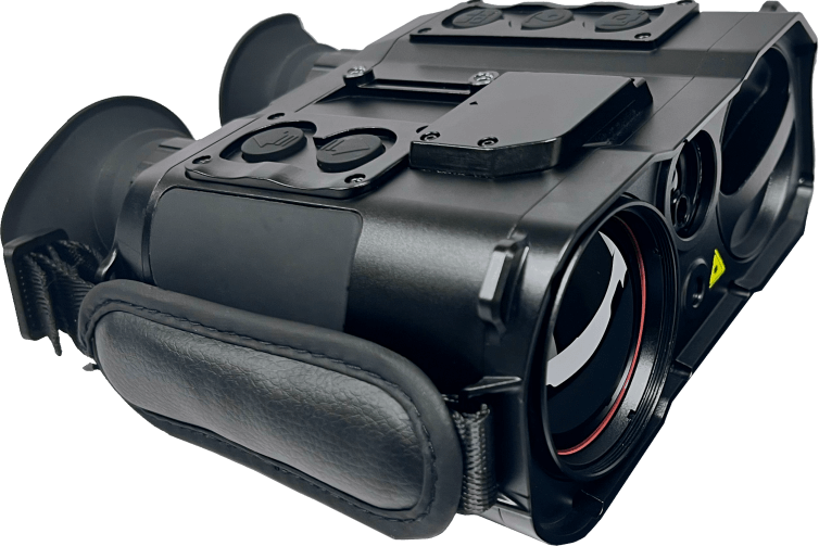
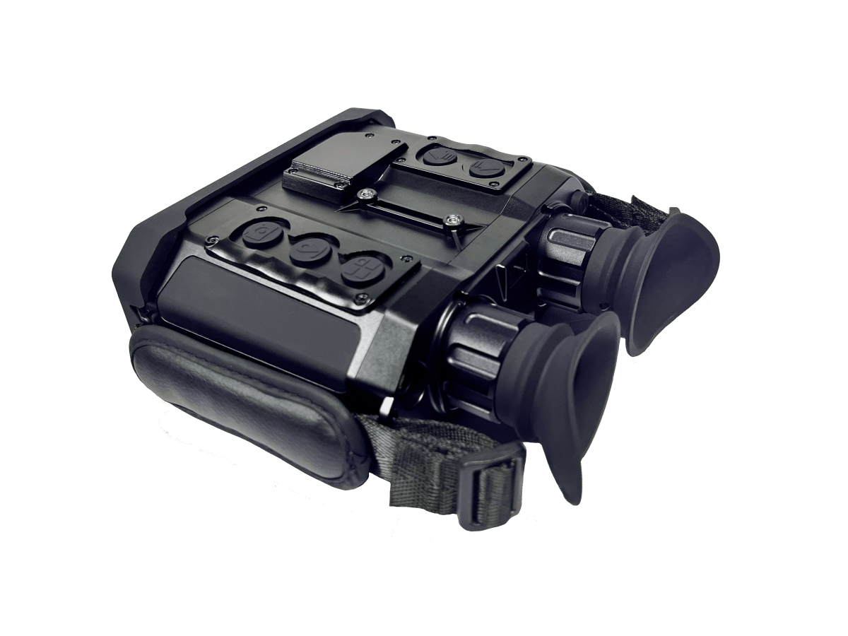
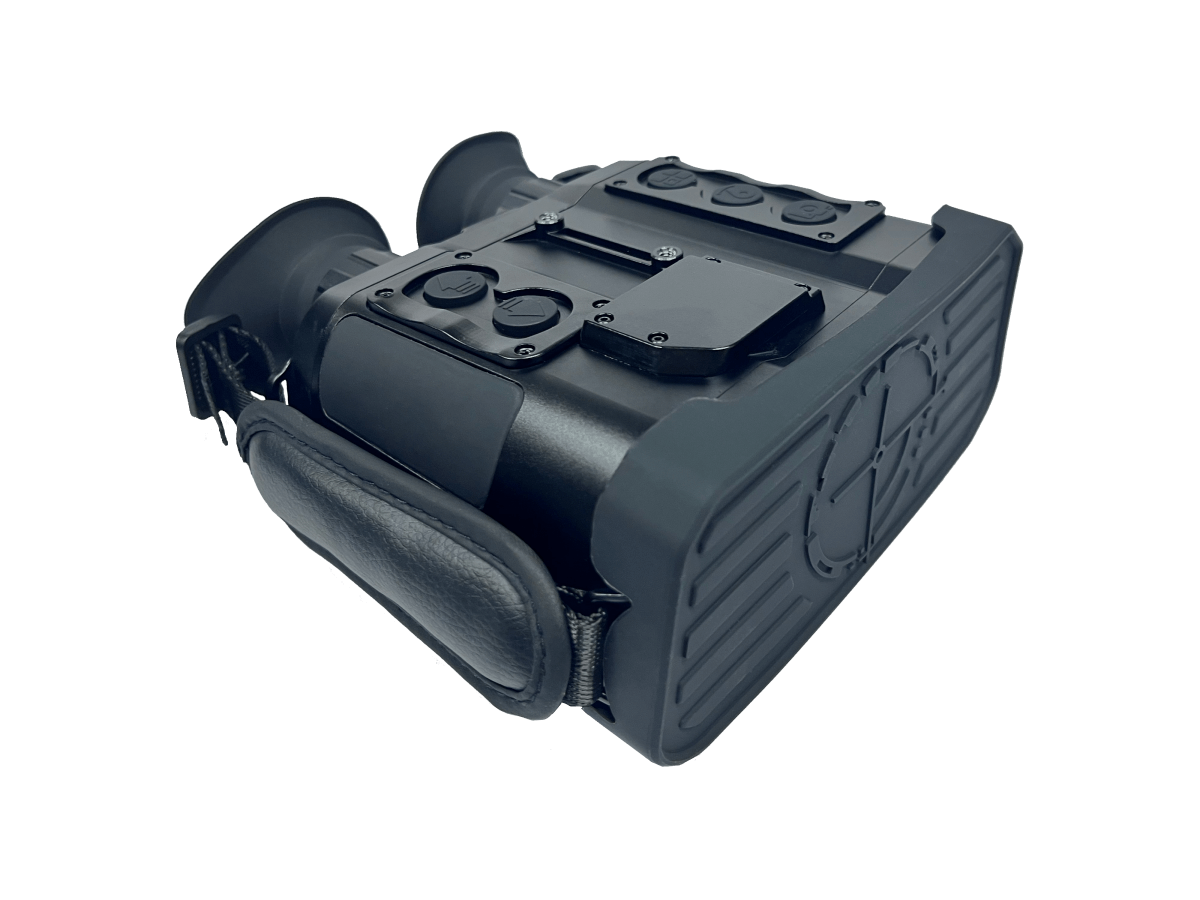
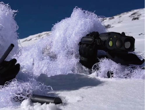
Self-positioning horizontal accuracy ≤ ±5m, target positioning accuracy ≤ ±20m
● Multi-type ballistics calculation
Measuring meteorological parameters such as temperature, humidity, and air pressure; includes 267 ballistic parameters (customizable); wind drift correction|
Product Model |
IR105Z |
|
Thermal imaging |
|
|
resolution |
640*512 |
|
Pixel pitch |
12μm |
|
Field of view |
8.8°*7.0° |
|
Laser ranging |
|
|
laser band |
905nm |
|
Measurement range |
10m-1.5km |
|
Positioning components |
|
|
Location mode |
BeiDou /GPS/GLONASS multi-mode |
|
Electronic compass |
|
|
Azimuth measurement accuracy |
1° (RMS) |
|
Pitch /roll accuracy |
0.5° (RMS) |
|
Laser pointer |
|
|
Visible laser |
520nm 30mw |
|
show |
|
|
1080p FHP OLED |
|
|
Memory |
|
|
storage space |
10,000 photos or 4 hours of video |
|
Working hours |
|
|
Continuous working time ≥8 hours, @25℃ |
|
|
External Interface |
|
|
DC/USB/PAL/RS232 |
|
|
Wi-Fi image transmission and control |
|
|
Special features |
|
|
Target positioning |
|
|
Goal guidance |
|
|
Multi-target relative ranging |
|
|
Audio /video recording is supported. |
|
|
Unit conversion |
|
|
Infinite Multiplier |
|
|
Expandable Picatinny rails |
|
|
☆Ballistics calculation (including wind drift calculation) |
|
|
☆360° target lock |
|
|
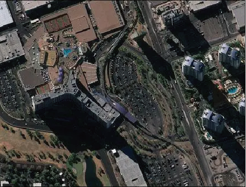
☆Embedded satellite map |
|
|
☆4G transmission |
|
Application:Battlefield reconnaissance, ballistic calculation, environmental mapping, early warning and expulsion, etc.


To better understand the needs of businesses, please fill out the following form. After submitting the form, a professional technical salesperson will contact you promptly.
Submitting, please wait...
+86 137 7755 9696


©2026 Zhejiang Tech-Special Equipment Co., Ltd. All rights reserved.
浙ICP备2023012381号-1Communicate and cooperate with us
Tel+86 137 7755 9696
E-mailadmin@tech-special.com
Add Room 401, Xixi Creative Building, No. 718, Wen Er West Road, Xihu District, Hangzhou City, Zhejiang Province